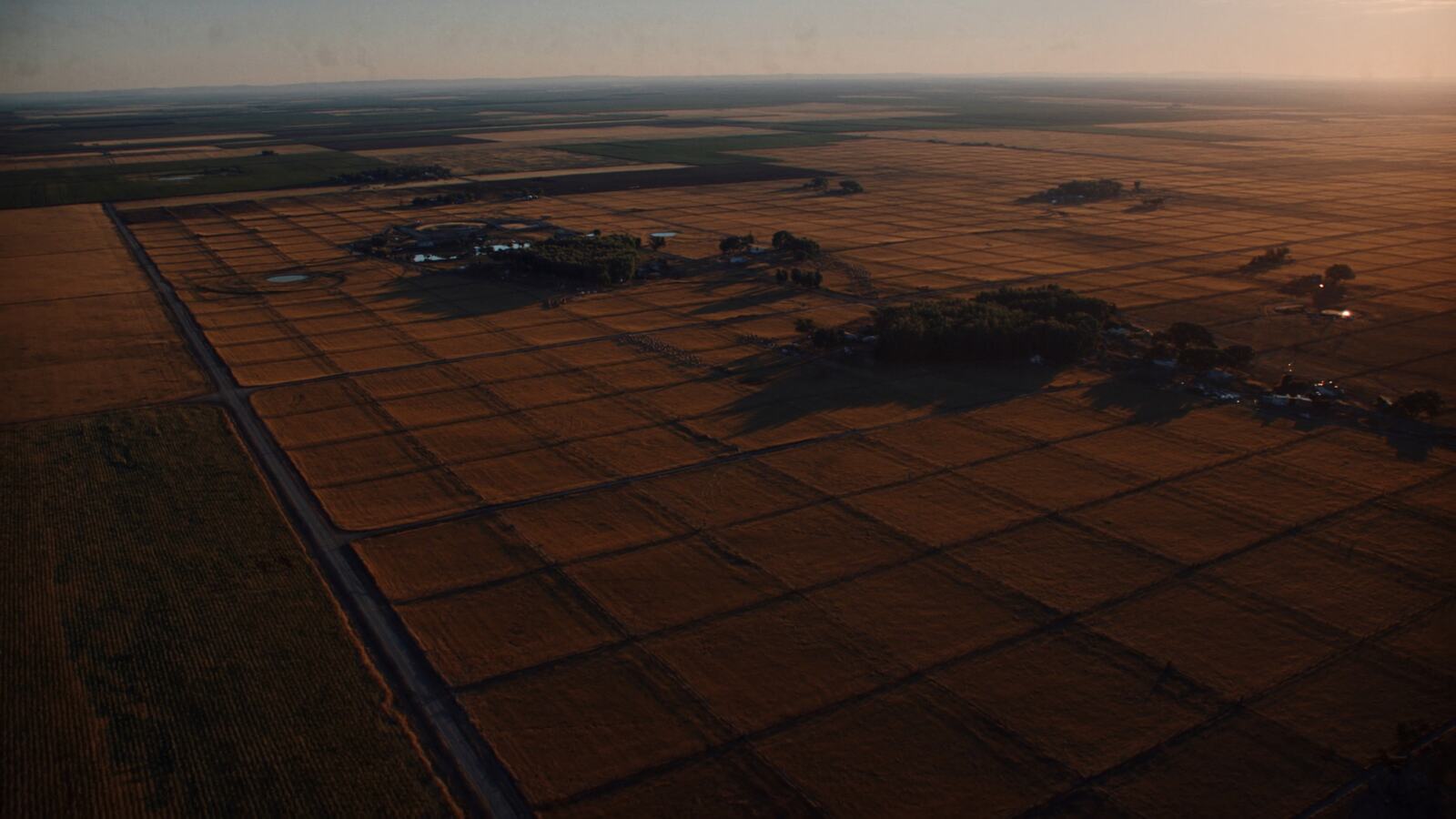
Land lists + pay-on-hit skip trace
Pull the county list.
Pay only for numbers that exist.
For land investors and wholesalers who mail and call county by county. Filter 63.3 million parcels by absentee, out-of-state, acreage, land use and owner type. Draw an area or take the whole county, up to 5,000 records a pull. Skip trace the list and a credit is spent only when a phone or email comes back.
10 free traces on signup. Lists and exports are free while the corpus fills in.
63,276,847
Parcels
rows you can filter
1,419
Counties
in 39 states
26,227,041
Absentee owners
mail ≠ property
2,214,056
Out of state
mails from elsewhere
Measured on corpus.parcels_clean — the one table every query on this site reads — on 2026-09-09. Not an estimate, and not a different table from the one you get.
The record
One parcel, ten columns, and a short list of things nobody has.
Every row starts as a public record published by a county assessor or GIS office. This is the whole of it — what is stored, what Quarry derives from it, and what is simply not there. The absent half is on the drawing on purpose: a list tool that will not say what it is missing is a list tool you find out about on a mail drop.
The trace
A credit is held before the engine runs, and released if nothing comes back.
Skip trace is sold by the attempt almost everywhere, so you pay for the misses. Here the hold goes on at step three and only settles at the end, on a hit. The ledger never shows a miss because a miss never reaches it.

Why a map is not the product
63,276,847 parcels · 1,419 counties · measured 2026-09-09
What you get
A list tool, not a viewer
Find the place first
Search an address, a city, a county or a bare APN and the map goes there. It no longer opens on somebody else's Phoenix.
Buyer-grade filters
Absentee, out-of-state, individual vs LLC, no government owners, acreage, land value, vacant and ag use, county, city, ZIP.
Polygon and county pulls
Draw the subdivision or take the county. Live match count, then a mail-ready list with the flags stamped on every row.
Bulk trace, 5,000 at a time
Trace a whole list in the background. Close the tab; results merge in as they land. Resume after a pause.
Right-party score
Every number scored 0-100 from carrier status, source agreement and recency. Sort the list, call the top first.
Pay only on hit
A credit is held while a record traces and released if nothing comes back. The ledger never shows a miss.
CSV out, county files
Export with phone, email, score and flags. Or download a whole county as one file from the county data page.
Google Earth overlay
A signed KMZ network link streams the parcels in view into Google Earth Pro. Nobody else in this category ships one.
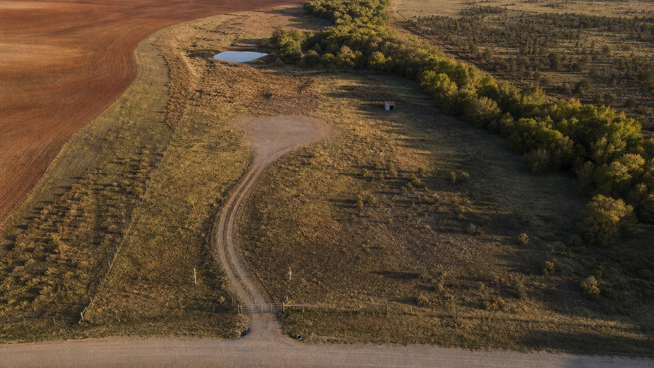
Aerial ground truth
Flip the imagery on under the parcel dots and read the frontage, the access, the treeline and the fence corner before you spend a credit on the owner.
Ground truth
Nobody’s parcel lines but ours
Quarry does not rent a parcel-boundary layer from another data vendor and draw it over your map. Every record it shows is a row it owns outright and can hand you in a CSV — which is the only kind of record you can actually mail.
What it shows you instead is the ground. Toggle the aerial and the things that decide a land deal are right there: where the gate is, whether the road frontage has a culvert, whether the drive reaches a pad, where the fence falls against the neighbour’s crop. A boundary you cannot verify is decoration. This is the part you buy on.
- Click anywhere at street zoom and the nearest parcel Quarry holds opens as a dossier
- Aerial is a toggle, not a second subscription
- Nothing in the dossier is a record we cannot export to you
What the corpus holds
- Owner of record on 63,276,847 of 63,276,847 rows, a mailing address on 59,574,546
- Acreage on 53,131,708, land value on 49,475,625, county use codes on 42,586,137
- Absentee and out-of-state derived with the same rule the filter uses, so the count on a county page is the count the filter returns
What it does not, yet
- No sale dates, mortgages, liens or equity. No year built.
- Coverage is 1,419 of about 3,100 counties. Check yours and request the rest.
- DNC and litigator columns ship as not checked until a scrub source is connected. Scrub before you dial.
Pricing
A list tool priced like a list tool
One-time credit packs. No monthly subscription. A trace uses one credit when a phone or email is returned.
Starter — 100 traces
$49
100 credits, one-time purchase. No charge for a no-hit result.
Buy 100 creditsTitan — 2,000 traces
$699
2,000 credits, one-time purchase. No charge for a no-hit result.
Buy 2,000 creditsChoose the pack that fits your work: 100 for $49, 500 for $199, 2,000 for $699. Credits never expire and are only consumed on a hit. Full pricing
Not a consumer reporting agency. Every account attests to no FCRA use, TCPA compliance and honoring removal requests before the first trace. Suppressed people, parcels, phones and emails are scrubbed from every result.